Pub. Edinburgh
Original engraved map by John Thomson
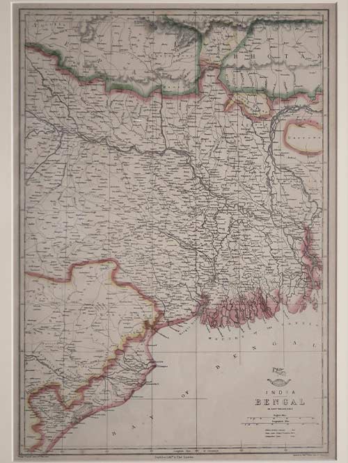
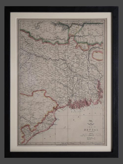
This remarkable map of India by John Thomson features inset maps of the Ganges River. It is an exceedingly rare map from Thomson’s India series, found only in the first edition of his atlas. Considered one of the finest atlas maps of the region during the early 19th century, it presents a comprehensive depiction of India from Lahore to the center of Ceylon (now Sri Lanka). The map showcases numerous cities, towns, rivers, mountains, and exquisitely illustrated deserts. The right side of the map, engraved and printed separately, offers an intricate portrayal of the Ganges River. It includes a cross-section of the river, a map illustrating its course during the dry season, and a depiction of the Inland Navigations routes along the river from the Bay of Bengal to Allahabad. This map was meticulously prepared and engraved in Edinburgh by J. and G. Menzies in 1814 for inclusion in the first edition of John Thomson’s New General Atlas in 1817.
Size (cms): 48(H) x 63.5(W)
Size (inches): 19(H) x 25(W)
Mounted Size (cms): 68(H) x 83.5(W)
Mounted Size (inches): 27(H) x 33(W)